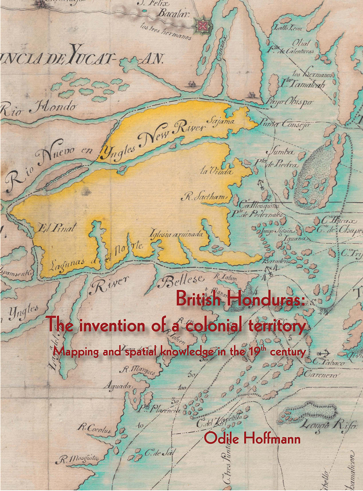
British Honduras: The invention of a colonial territory
$36.00
A fascinating perspective on the history of Belize as it was mapped in the 19th century.
Description
British Honduras: The invention of a colonial territory
Mapping and spatial knowledge in the 19th century
Author: Dr. Odile Hoffmann
Paperback: 80 pages
First Edition: May 2014
Size: 8.5″ x 11″
ISBN: 978-976-8161-40-6
With more than 27 beautiful colour maps and plans, this monograph provides a fascinating perspective on the history of Belize as it was mapped in the 19th century. It gives an insight into the field of mapping and spatial knowledge at that time.
The author organises her study within four themes: territorial disputes between colonial powers, the estabishment of property, administrative control and the expression of scientific or commercial interests. Maps give the impression that they are authoritative, but they can be just as deceptive. As Hoffman adeptly shows, they were often made at the request of settlers or colonial authorities precisely to reflect not necessarily what it is, but what they would like it to be.
No territory exists on its own; only social, political, symbolic and emotional constructions grant it substance and reality. Through descriptions, narratives and especially maps, this study brings the territory into existence
Additional information
| Weight | 0.25 kg |
|---|

